15 June - invited speakersIt is possible to attend on line (registration required) 14h00-15h00 3D deep learning for the geosciencesLoïc Landrieu Ecole des Ponts Paris Tech / IGN Loïc Landrieu is a machine learning researcher at Imagine-lab, ENPC, and associate researcher at IGN (The French Mapping Agency) in the LASTIG lab. His field of research is data science, with an interest in structured classification and optimization. His research is motivated by remote sensing applications and the handling of spatial data in general (satellite images, LiDAR point clouds, maps). He is interested in geospatial machine learning and works with 3D point clouds and satellite image time-series.
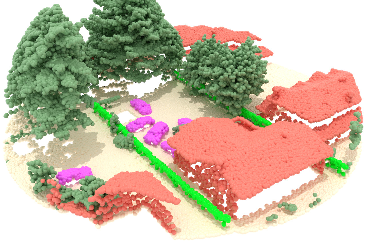
15h00-16h00 Integration of AI predictions in a processing chain for the LiDAR HD projectCharles Gaydon IGN As part of the national LiDAR HD program, the IGN is producing and distributing 3D point clouds of France ground and above-ground using LiDAR data. The 3D point clouds acquired as part of the LiDAR HD program will first be classified into several classes (ground, water, vegetation, buildings, bridges, etc.) and then lead to the production of DTMs (digital terrain models), DSMs (digital surface models) and DHMs (digital height models). All the acquisitions and data deliveries will be spread over 5 years. The data acquired and produced as part of the program (raw and classified point clouds, derived products) will be available as open data (Etalab 2.0 license), except for some strategical areas.
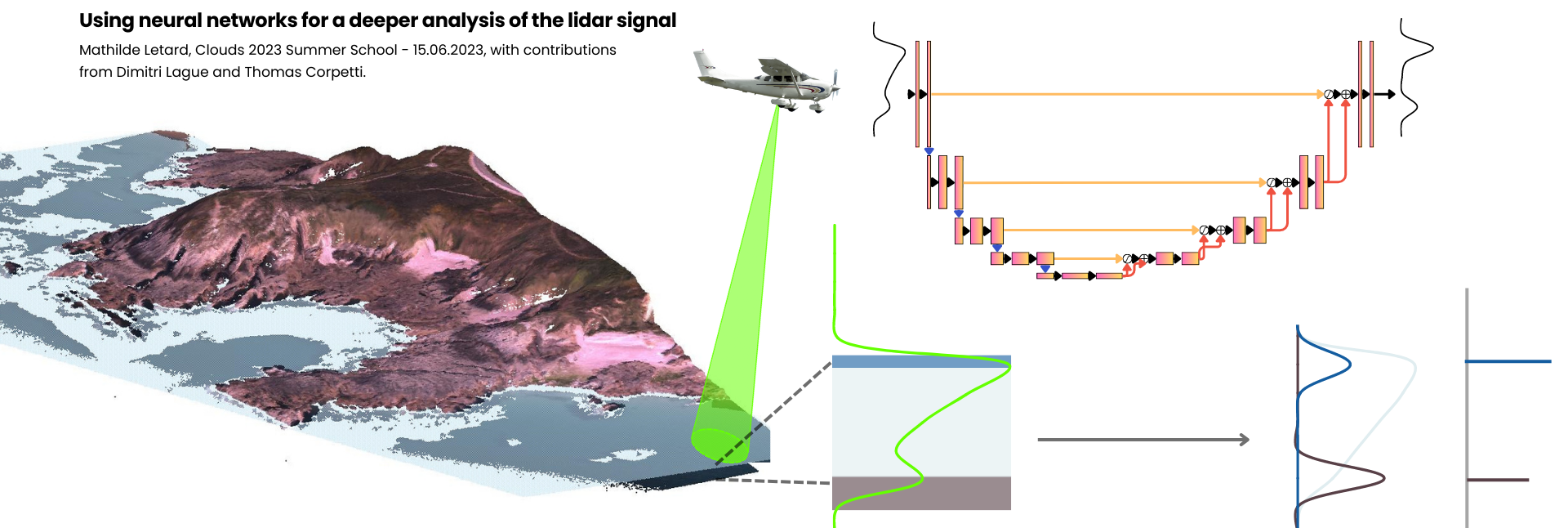
16h00-17h00 Deep learning on LiDAR waveformsMathilde Letard University of Rennes Although LiDAR data are most commonly used under the form of 3D point clouds or 2D rasters, their origin lies in the processing of backscattered laser signals and their conversion into spatial information. The recording of the complete interaction of light with the surveyed environment, the full-waveform, thus contains rich information on the spatial and spectral structure of the observed terrain. This presentation will present the characteristics of full-waveform LiDAR data and show how deep neural networks enhance their exploitation for environmental studies.
|


